Geography and Localities
Table of contents
The geographical information in Specify is managed using a combination of Geography, Locality, Filing Region and Verbatim Locality in the Collection Object.
Geography Tree
The Geography is visualised using the Geography Tree. Each geography record needs to have a parent, similar to the Taxon Tree. Below country level, the terminology for the regions/provinces/states/counties varies within different countries and so a more general subcountry, subsubcountry, etc, terminology is currently being used.
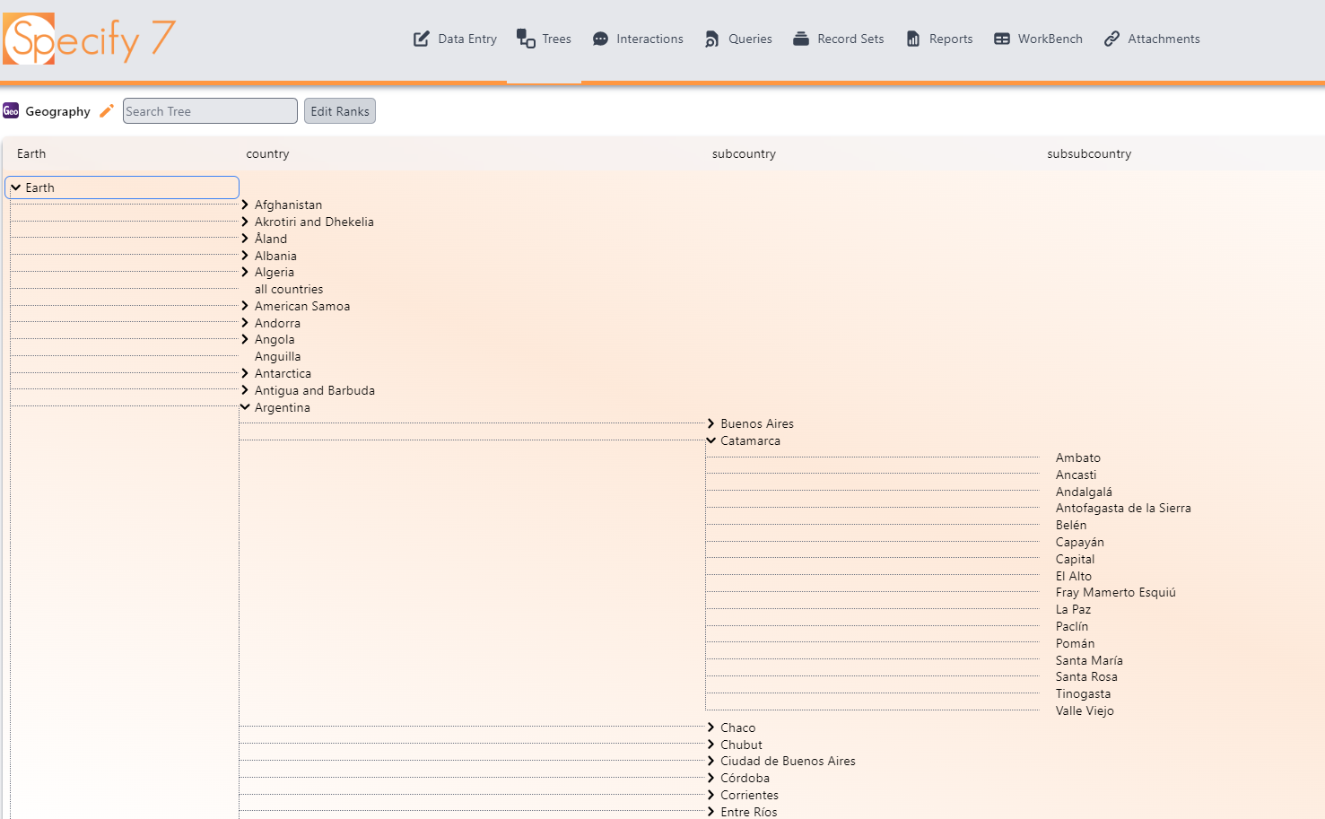
The Geography Tree has been built based on GADM, the Database of Global Administrative Areas.
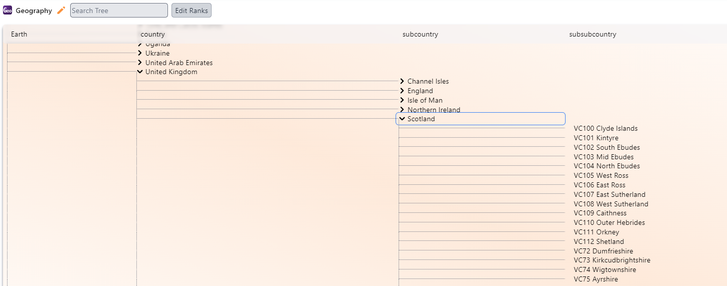
Part of the Geography Tree has been customised to include the Vice Counties within the British Isles.
Localities
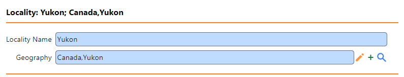
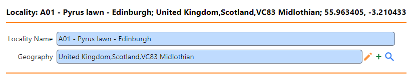
The Locality table is separate to the Geography Tree but is related to it. Each item in the Geography Tree has a corresponding Locality record.
There are also a number of additional Locality records, each of which is connected to the Geography Tree. These have been created for the RBGE Garden locations.
The Locality table is currently fixed. Any localties not included in here should be entered using the Verbatium Locality field in the Collection Object.
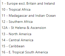
Filing Region
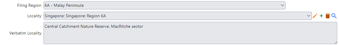
The Filing Region is currently being managed as a drop down list in the Collecting Event section of the Collection Object.

Tip: The Filing Region is displayed in Locality as an aid (see image below).
Verbatim locality
The Verbatim locality field is used to record the locality information below the level of the Locality field.